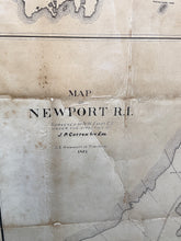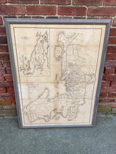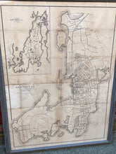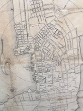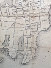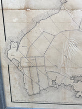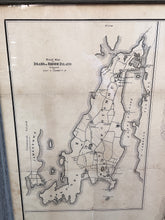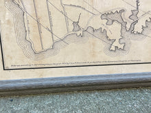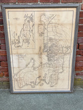
Original Map of Newport, RI published by Charles E. Hammett circa 1875. Nicely framed and backed on linen. The frame measures 40 1/2” tall and 30 1/2” wide. It was originally surveyed by N.W. Eayrs under the direction of the civil engineer at that time J.P. Cotton.


